Giant hail and 125km/h winds threaten south-east Queensland as northern heatwave smashes records
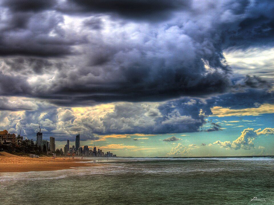
Storm clouds over the Gold Coast; file photo. Photo: paul bica · CC BY 2.0 · Wikimedia Commons
Severe thunderstorms could bring giant hail, heavy rain and destructive winds to south-east Queensland from midday today, the Bureau of Meteorology has warned.
Meteorologist Robert Urbaniak said areas south of Hervey Bay down to the Gold Coast and west towards Toowoomba could be in the firing line. 'There is a chance for giant hail, which is bigger than five centimetres, and intense rainfall and destructive winds greater than 125 kilometres an hour,' he said. 'So that's a big storm day; that's pretty impactful.'
The bureau said the severe storms were expected to hit from midday and peak between 2pm and 5pm, with regular thunderstorms possible in most other places other than the far south-west.
The latest forecasts come after a weekend of wet and stormy weather across parts of the state. Severe storms hit late on Friday and into Saturday morning, particularly around the eastern Darling Downs and near Gatton, where areas south-west of Toowoomba were drenched by up to 80 millimetres in two hours and up to 60 millimetres fell in half an hour near Gatton.
On Sunday, severe storms affected several regions including South East Queensland, the Darling Downs, Maranoa and Warrego, the Central Highlands and the state's North West. Wind gusts in excess of 65 kilometres per hour were recorded around Stanthorpe, damaging some properties, and spectacular thunderstorms rolled through the Scenic Rim and the Gold Coast on Sunday evening. Beaudesert recorded the highest rainfall total in the area, with 48 millimetres in the 24 hours from 9am Sunday. In the 24 hours to 6am today, State Emergency Service crews responded to 27 calls for help across Queensland, including 10 each in Logan City and Cloncurry Shire.
Meanwhile a severe heatwave warning remains in place for the Cape York Peninsula, North Tropical Coast and Tablelands districts. Weipa has recorded its longest stretch of days with temperatures above 36 degrees Celsius - 41 days as of Sunday - and conditions are expected to intensify on the peninsula in coming days. 'By the end of the week it might have recorded 48 days with consecutive daily temperatures above 36 degrees, which is absolutely crazy,' Mr Urbaniak said.
In the state's south, temperatures are expected to drop midweek, falling to the mid-20s by late this week. Severe thunderstorm risks are expected to clear south-east Queensland from Tuesday, with the focus shifting to the Capricornia Coast and North Queensland on Tuesday and Wednesday. A new trough is forecast to sweep into far-western Queensland on Thursday and Friday, bringing widespread showers and thunderstorms from the Gulf Country through to Charleville, Augathella and Cunnamulla.
The storm threat follows a dangerous weekend on the NSW Central Coast, where a man was struck by lightning while swimming at Umina Beach on Saturday afternoon - a reminder, forecasters say, that so-called blue-sky lightning can strike well away from the centre of a storm.